
Innovative positioning system for defence in gnss-denied areas
Between 2020 and 2022, Skylife Engineering coordinated OPTIMISE, a European PADR project aimed at developing positioning and navigation systems in the absence of GNSS, using emerging and multisensor technologies.
The Project
Context and Challenges
Since the 1990s, satellite navigation systems such as GPS have become an indispensable tool for air, land, and maritime mobility. However, in electronic warfare scenarios, GNSS signals can be vulnerable to jamming or spoofing, compromising the security and accuracy of positioning. This creates a need for robust alternative solutions that ensure the operational capability of aircraft, vehicles, and troops in environments without a satellite signal.
Our Proposal
The OPTIMISE project, coordinated by Skylife Engineering, proposes an innovative multisensor architecture that combines data from various emerging Positioning, Navigation, and Timing (PNT) technologies. The proposal is based on integrating traditional and state-of-the-art sensors into a common software platform capable of fusing and adapting the information to provide more accurate and resilient positioning in any operational context.
Project Objectives:
- Investigate and evaluate key emerging PNT technologies.
- Develop a PNT toolbox with various solutions adaptable to mission conditions.
- Design a multisensor and multiplatform data fusion architecture.
- Validate the developed prototypes on the ground and in flight, ensuring robustness and reliability.
- Issue recommendations and roadmaps for future integrations into European defense programs.
The Solution
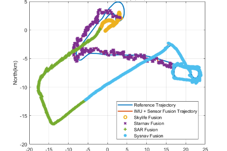
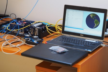
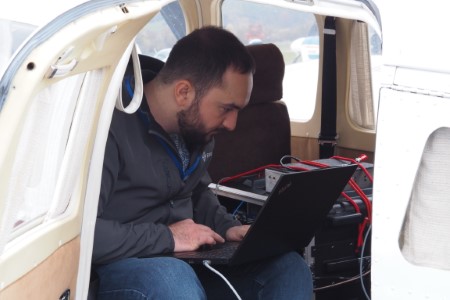
The OPTIMISE platform was designed as an open, flexible, and scalable system, capable of integrating multiple PNT technologies and dynamically selecting the most appropriate ones based on the scenario. During the project, workshops were held to define requirements, conduct state-of-the-art analyses, and perform exhaustive testing in Žilina (Slovakia), where the prototypes were validated both under laboratory conditions and during demonstration flights.
Benefits Achieved
- Definition of future military scenarios and specific KPIs for evaluating PNT solutions.
- Development and validation of a robust and reliable multisensor data fusion architecture.
- Contribution to the strategic autonomy of the EU by reducing dependence on GNSS.
- Development of a PNT technology roadmap aligned with the European Defense Agency (EDA) strategy.
- Foundation for future capabilities under the European Defense Fund, applicable to air, naval, and land platforms.
Financing
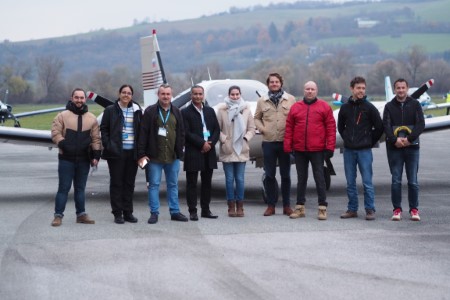
The OPTIMISE project was carried out between 2020 and 2022 under the European call for proposals PADR-FDDT-2019, fully funded by the European Commission, with a budget of €351,000 for Skylife Engineering and an overall consortium budget of €1,499,400. Skylife served as the consortium coordinator, comprising leading organizations such as MBDA, SENER, ONERA, SYRL, STAR, SYSN, UNIZA, and AICIA.

Why Skylife?
At Skylife Engineering, we lead projects thanks to our extensive experience in integrating advanced technologies and our strong commitment to sustainability in aviation. We work closely with each project manager, applying a rigorous process of review and continuous improvement. This approach ensures solutions of the highest quality—safe and effective—that have a real and lasting impact on the industry.









-
SectorDefense / Navigation Systems
-
ScopeEuropean
-
CallPADR-FDDT-2019
-
Reference884134
-
Project Duration2020-2022



